De Limes, border of the Roman Empire
On foot or by bike, discover the Limes (border) of the ancient Roman Empire! The starting or ending point of the Limes is where the Rhine flows into the sea at Katwijk. Valkenburg (South Holland) is internationally known for its many archaeological excavations from the Roman era. The Limes is the largest archaeological monument in the Netherlands and has been declared a UNESCO World Heritage site!
The Roman Limes Trail hiking route
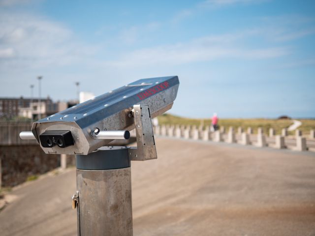
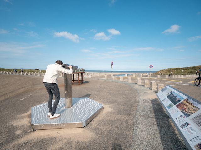
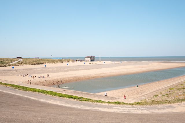
The long-distance hiking trail LAW 16, the Roman Limes Trail, is a total of 275 kilometers long and starts in Katwijk at the Buitensluis. Tip: At the starting point, use the Limescoop, a virtual reality binoculars, to see the former Roman fort Brittenburg, which stood off the coast 1800 years ago.
Not a long-distance hiker? You can also walk just the first part from Katwijk. The route starts at the Buitensluis in Katwijk and goes to the Leidsche Hout in Leiden. The total distance is 13 kilometers, and the route takes you along various points that played a role in Roman history. You can download this section of the route for free here.
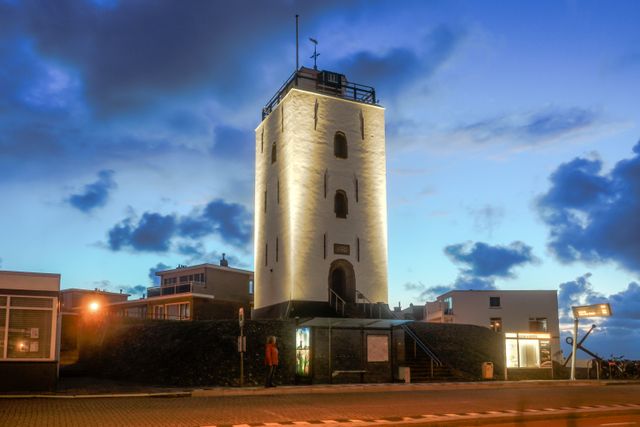
Torenmuseum Valkenburg
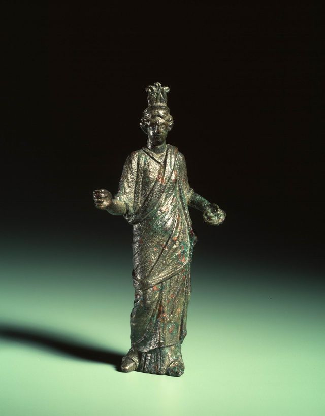
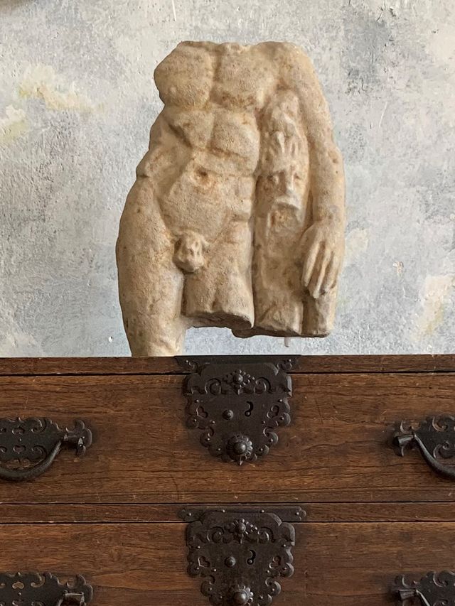
Valkenburg, located in South Holland, gained international archaeological fame through numerous excavations, particularly focusing on the Roman castellum, Pretorium Agrippinae, which stood here two thousand years ago. The Torenmuseum houses a permanent exhibition dedicated to Roman history, showcasing parts of armor, tools, and equipment that were excavated on-site.
The Castellumplein, where the Torenmuseum is located, resembles a mound. This mound was formed as a result of the successive presence of seven (!) castella at this site. Around the square, the outlines of the castellum have been made visible through round bronze markers embedded in the pavement.
Torenmuseum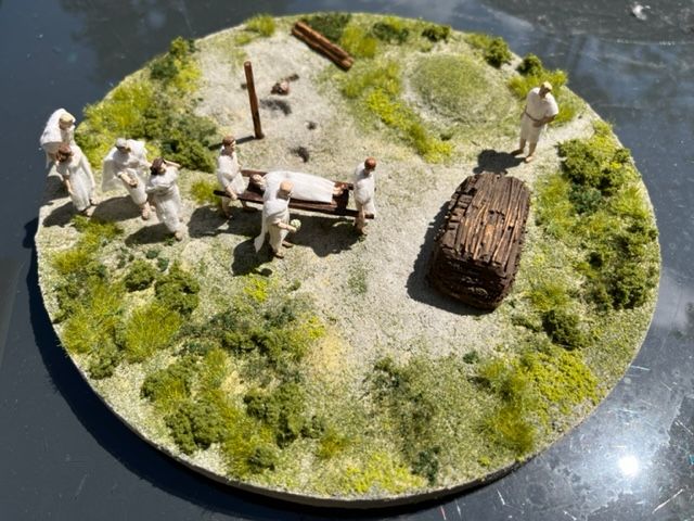
Peutinger Map
"Do you want to know what our area looked like during Roman times? At the Katwijks Museum, you can view a map from Roman times, the Peutinger Map. The map is named after the monk Konrad Peutinger, who made copies of an original Roman map from the time of Emperor Augustus (27 BC - 14 AD)."
Museum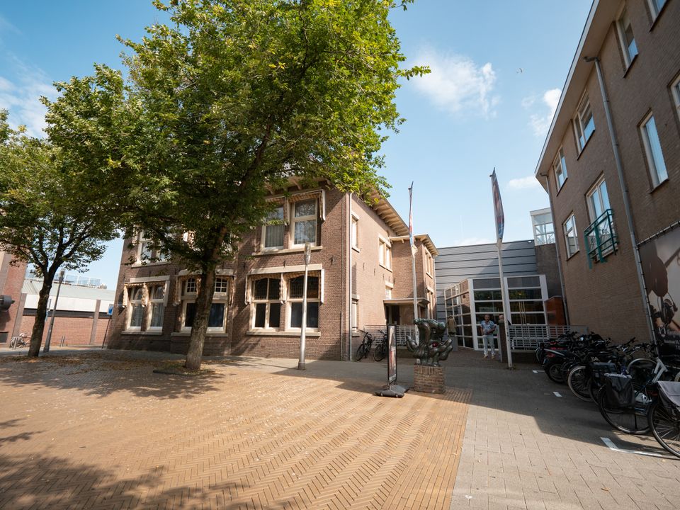
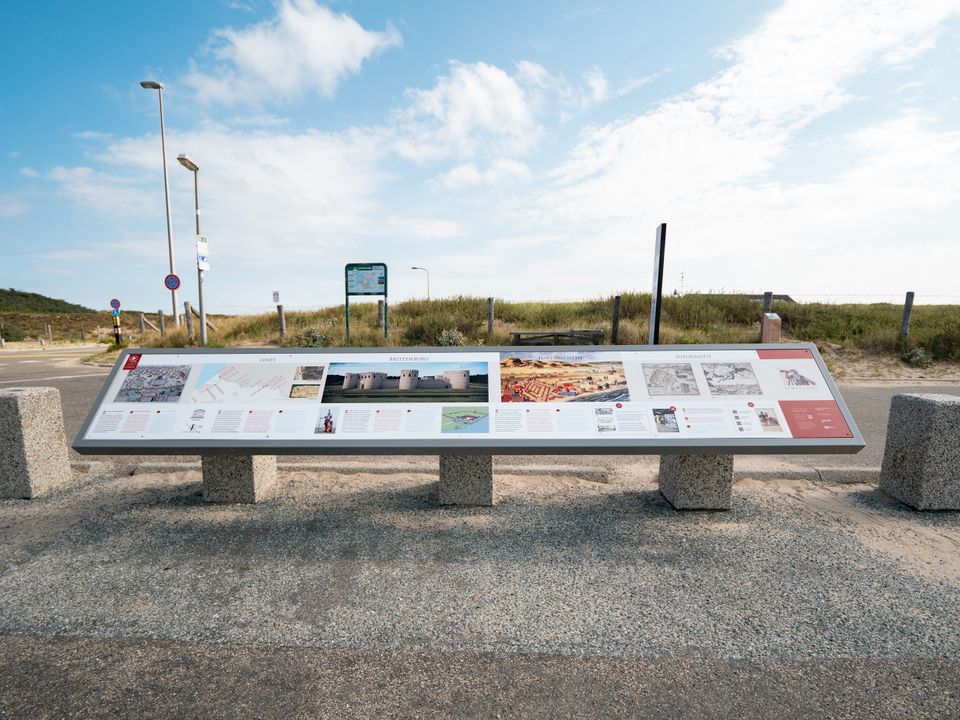
Along the Limes
Along several routes you will find Limes information points with picnic spots. Will you go and take a look?
- Roman Fort Brittenburg/Kunstwerk ‘Kallas Toren’ - at the junction Kanaaldijk-Buitensluis in Katwijk. Here you will also find the ‘Limescoop’ through which you can see the former Brittenburg.
- Limes sign Castellum Valkenburg - at the ‘Shield Artwork’ on the Veerpad in Valkenburg ZH.
- Artwork Gate of Katwijk - by the grass field near artwork ‘Pilum’ on the Voorschoterweg in Valkenburg.
- Limesplein with reconstructed Roman road - halfway along the ‘through-cycling route’ between Leiden and Katwijk.
This is Katwijk
-
Overnight stays
Overnight stays
-
Art village
Art village
-
Parking
Parking